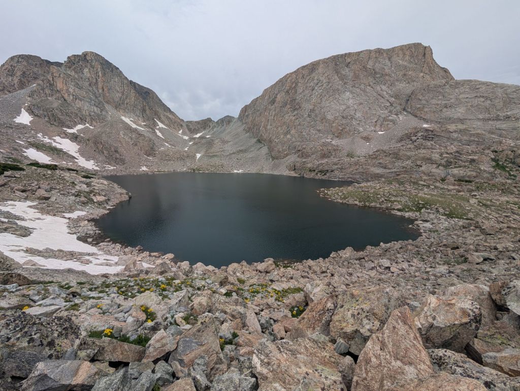
Start: Middle Fork Lake End: Douglass Peak Lake
Miles: 20 – Vert: 5k
Captains Log: https://recorder.google.com/d6a66b0e-9efa-442d-998d-00f428591708
The captain’s log linked above is one of my favorites of the whole trip. In an effort to highlight it I’m going to keep this blog post brief.
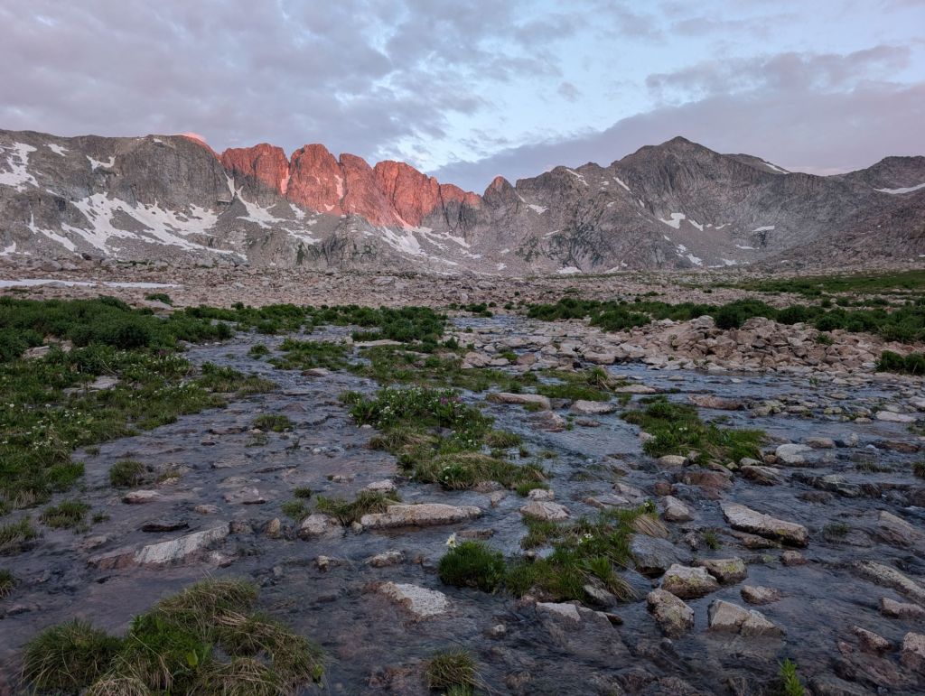
We started our day in the dark once again leaving camp around 4:45am. First we crossed the outlet of Middlefork Lake before wrapping around it and up into the Bewmark Lake hanging valley. In order to get up to Bewmark lake we had to go through quite a long bit of willows that were thick and hard to push through the branches. We tried to stick to the path of least resistance. It was a treat once we got up to the lake around sunrise. It was easy and stunning flower filled tundra walking up to the top of Photo Pass which was by far the easiest pass on the whole route.
At the top of Photo Pass we entered the reservation and stayed in it until Europe Peak approximately five miles later. The descent to “South Fork Bull Lake” was steep and loose but very easy to follow. The valley was very green, marshy, and full of elk signs. We tried to follow an intermittent trail but ultimately ended up just following a bearing until we had to take our shoes off to cross a rushing brook. We saw a large herd of elk at this point and their smell was fairly strong and musty. After using many elk trails to get through the thicker part of the forest we gained enough elevation to scramble over some rocks back into the open alpine. The ascent to Europe Peak was long and winding. We were not expecting it to be so hidden from our view, the route just kept going up and around the next bend into another valley until we could finally see the intimidating objective.
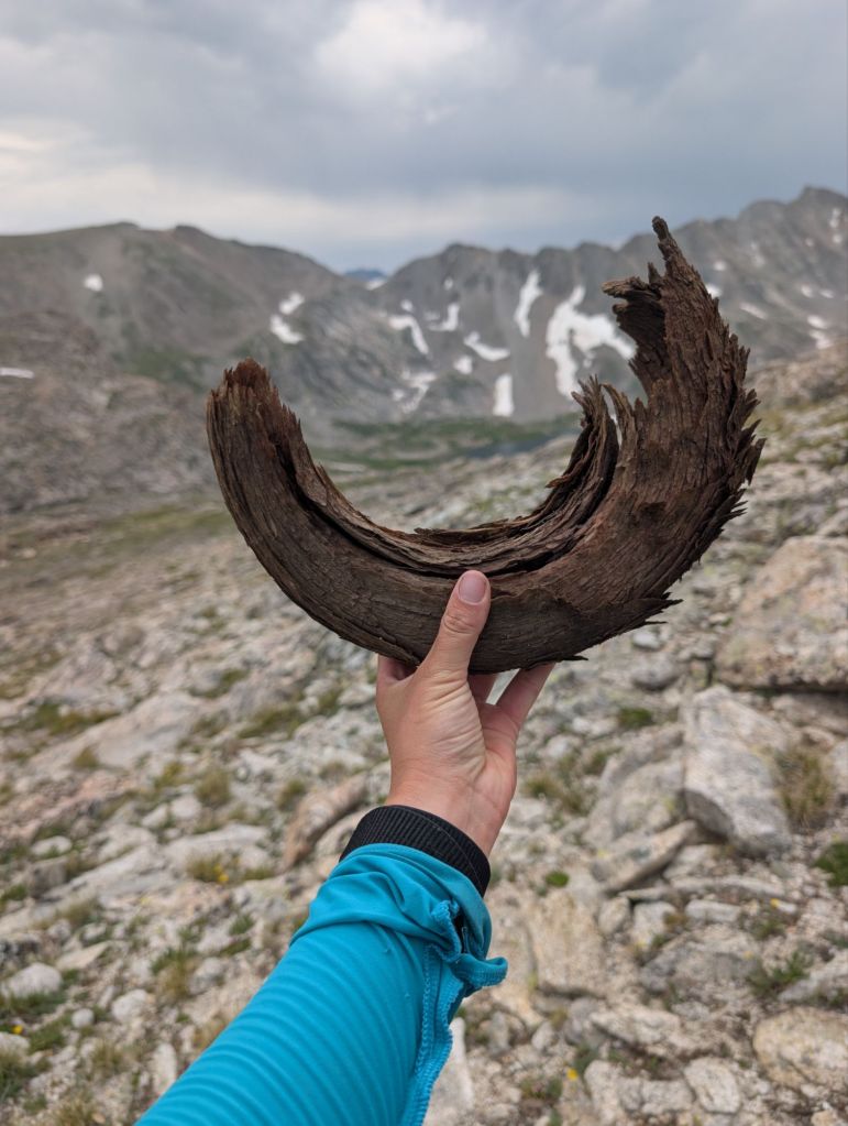
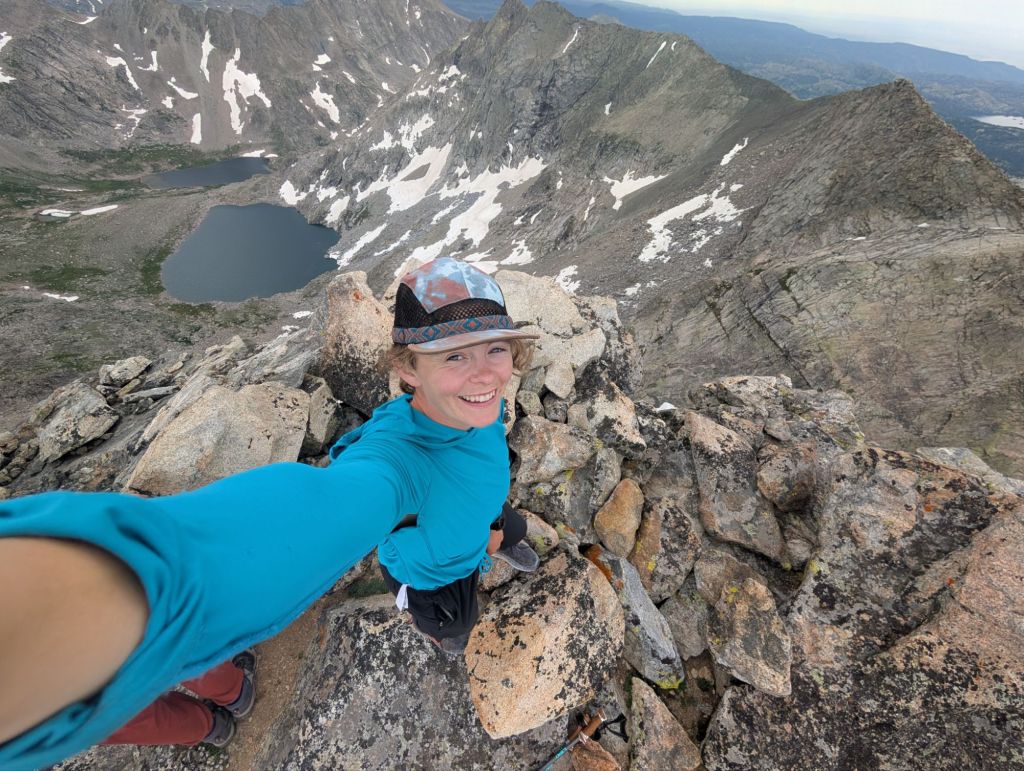
The mid route 12,000 foot peak was one that Lauren and I were a bit nervous about based on descriptions. When we finally saw it, block like and jutting up from the tundra with a sharp arête, it looked just as crazy as we expected. Since we learned not to judge anything at this point from a distance, we walked right up to the base and then some before coming up with a plan and deciphering where exactly the “class 3 chimney to a knife’s edge” was. During our evaluating Lauren found a big horn sheep horn on the ground. Picking it up, it felt brittle and ancient, one of the coolest backcountry relics I’ve seen. We left it to weather more in the harsh environment and took off upwards to the chimney we identified. Luckily the climb wasn’t long nor airy. 15 feet of vertical protection in a rocky corner. I felt safe with Lauren right below me. My only concern with the feature was maneuvering my heavy pack and how thin the “knife’s edge” was going to be at the top. There was certainly a dramatic drop off on either side of the knife’s edges but it was just wide enough with great footing that I felt comfortable after yelling some verbal affirmations to Lauren that everything was great at the top. We went to the end of the short cat walk and dropped our backpacks in the boulder field before hiking up to the true summit. From the top we could see the southern half of the Winds with heavy dark clouds and ominous weather behind us and the northern half of the Winds in bright blue skies and sunshine. Our trip was happening in a perfect yet small weather window. Lauren pointed out Alpine Pass completely covered in snow in the distance. Wow, I thought that looked crazy and like I was definitely going to need my ice axe for once. A tomorrow problem for sure.
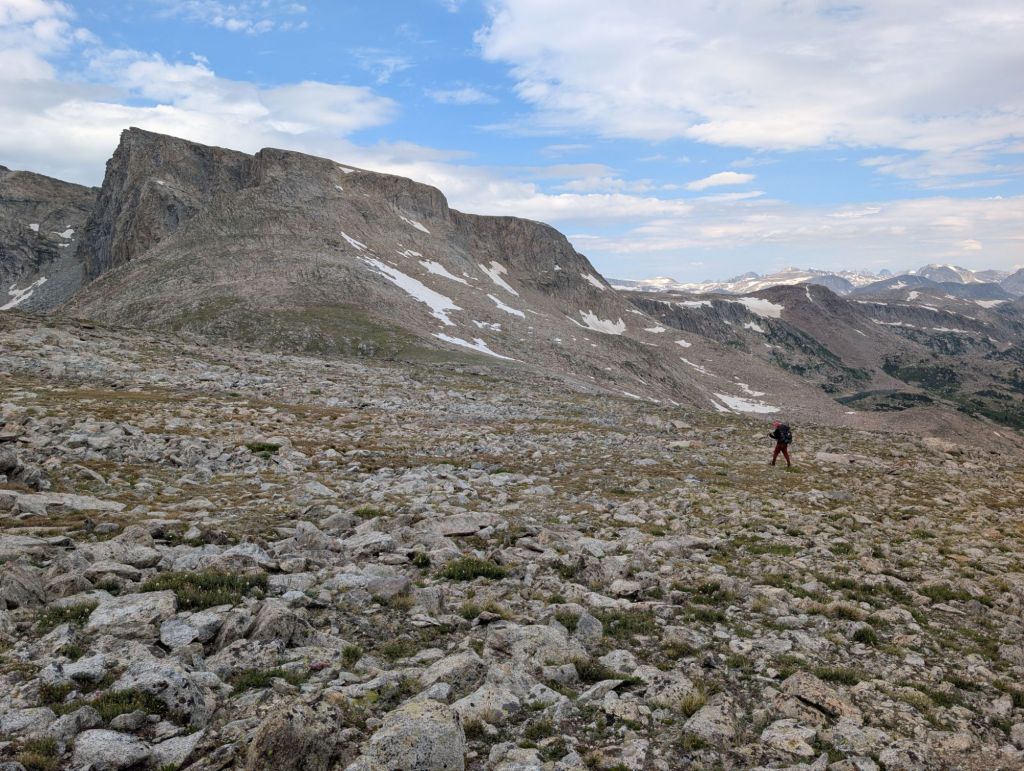
We descended from Europe Peak on a very long rocky ramp and eventually into a gentle ravine cut by a pretty creek. Navigation up here was a bit tricky as there were so many rocks that it was hard to make out some of the folds in the land ahead of us.The two of us felt very sleepy and tired at this point completely exhausted with so much more ground to cover. We took a couple breaks to eat and even set a timer to take a five minute nap on a sunny rock. The afternoon doldrums were hard to fight. Eventually we made it to Golden Lakes where the sun was harshly beating down on us. Originally we had planned to camp around here. Following the shorelines around the three different lakes took longer than one would expect. By the time we got to the third lake we had a discussion about whether or not to continue on for the day. My thought process was that we had been so successful so far that going a little bit farther would continue to help us out later down the road especially with the variable forecast. Also the climb up to Douglas Peak Lake was not looking particularly nice to do in the dark. Lauren agreed to continue on and we lucked out big time by finding a nice trail through the boulder field up to Douglass Lake. It was graded so nice I didn’t feel out of breath on the climb and the foot travel was easy. What a treat to end the day. During the climb we passed a group of three girls from Bozeman who were doing the 80 mile Alan Dixon version of the high route heading south bound which was fun to see. We set up camp for the night on a small grassy boulder strewn peninsula that jutted out into Douglas Peak Lake. The pass was looking quite mind boggling for tomorrow morning. From the perspective of our camp it looked extremely steep and very loose.